Fishing Spots & Grounds
A practical overview of the named offshore banks, coastal zones and open-water features used by Los Cabos fleets.
Named offshore areas
Six grounds anglers hear about
These names describe broad working areas. Run time depends on the departure marina, boat, sea state and the part of the bank being fished.
Gordo Banks
An offshore high spot east of the cape, commonly worked from Puerto Los Cabos. Current, bait, and live reports determine which part is fishable.
Iman Bank
An East Cape / Sea of Cortez-side bank used by local fleets. Pelagic and structure-oriented tactics vary with the season.
Golden Gate
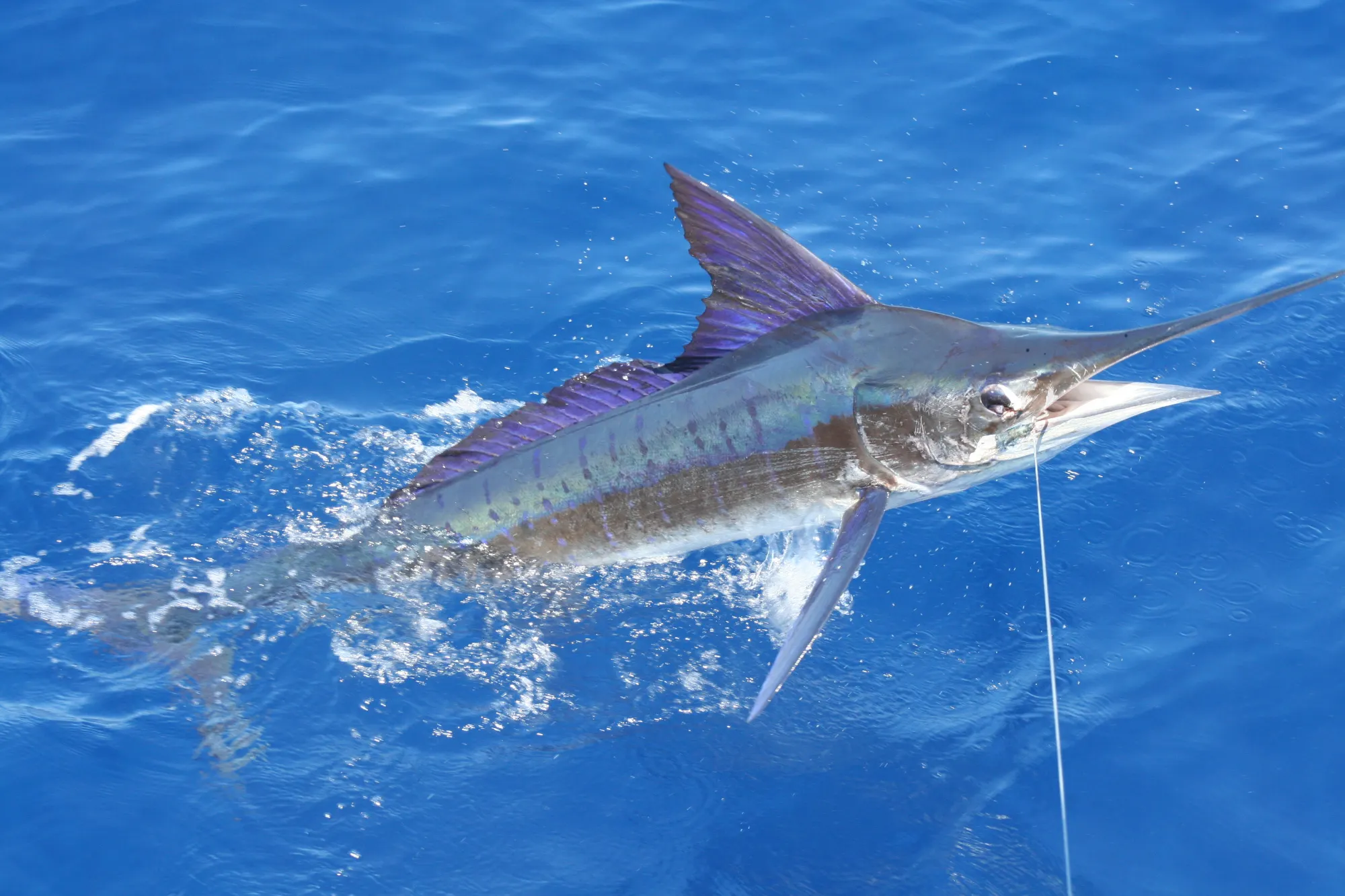
A Pacific-side bank associated with winter bait concentrations and striped marlin activity. Run time changes materially with departure port and sea state.
San Jaime
A broad Pacific offshore bank west-northwest of Cabo San Lucas, with different sections worked according to conditions.
1150 area
A named offshore area on the Sea of Cortez side. Ask the captain which part is practical from the departure marina.
Finger Bank
A distant Pacific-side ground north of the usual Cabo fleet range. It requires a suitable vessel, weather window, fuel plan, and full captain briefing.
Fishing zones
Where crews look and what may be there
| Working zone | What crews look for | Possible targets | Planning frame |
|---|---|---|---|
| Beach & wash | Bait, birds, clean water, current seams | Roosterfish, jacks, sierra | Inshore plan |
| Rock & reef edges | Safe structure, current, meter marks | Snapper, grouper, amberjack | Inshore / coastal |
| Banks & high spots | Bait stacks, current, temperature contrast | Tuna, wahoo, marlin, dorado | Half or full day |
| Open-water life | Birds, porpoise, weed lines, floating debris | Dorado, tuna, billfish | Search pattern |
Trip planning
What changes the day's route
Departure port
A ground that is practical from Puerto Los Cabos may be a materially longer run from Cabo San Lucas, and vice versa.
Sea state
Wind direction, swell period, tropical systems, and visibility can make the nominally short option the wrong option.
Recent sign
Bait, birds, water color, temperature structure, and fleet reports move the search every day.
Boat & fuel
Range, speed, safety gear, passenger comfort, and legal operating limits define the responsible search area.