Wind & swell
Start with forecast direction, speed, period, and tropical outlook. A fishy edge is irrelevant if the ride is unsafe.
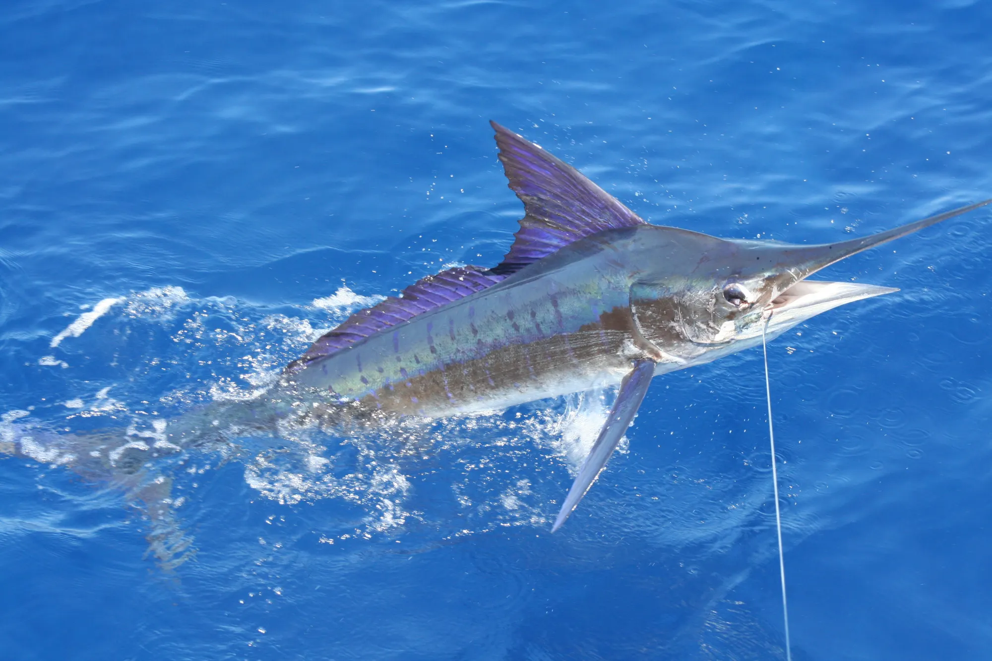
Use wind, swell, water temperature, tide and recent fleet reports to make a practical plan.
Reading order
Start with forecast direction, speed, period, and tropical outlook. A fishy edge is irrelevant if the ride is unsafe.
Use recent surface-temperature and color imagery to identify edges, but remember clouds, age, and surface-only readings limit the picture.
Birds, porpoise, flying fish, meter marks, weed lines, and recent fleet observations are the field confirmation.
Tide predictions provide timing at a reference station. Local current can differ offshore and around structure.
Water temperature
Los Cabos sits at a dynamic meeting place between Pacific and Gulf of California water. A static monthly average hides the gradients that matter on a particular day. Sea-surface temperature can help locate edges and water masses, but it says nothing by itself about bait depth, oxygen, subsurface temperature, or whether fish are feeding.
Compare images from consecutive days, note the observation time and cloud cover, and ask the captain whether the feature still matches reports from the fleet. Small color-map differences are not automatically meaningful.
Seasonal frame
| Planning window | Typical signal | How to use it |
|---|---|---|
| Cool-water period | Pacific influence is often stronger | Look for bait concentrations and cooler-water pelagics; striped marlin can be prominent. |
| Spring transition | Patchy warming and changing edges | Keep target plans flexible; nearshore and offshore options can change quickly. |
| Warm-water period | Broader warm surface water | Dorado, tuna, and warm-water billfish become central targets, subject to live reports. |
| Fall transition | Warm water can persist while fronts sharpen | Tournament season overlaps productive potential and eastern Pacific storm risk. |
For target timing, pair the species calendar with current reports and conditions.
Tide desk
A tide table predicts water level at a named station. Use local observations to assess offshore current at a bank or seamount.
Changing current can reposition bait around structure. Which stage helps depends on the location, target, wind, and water clarity.
Use the captain's electronics and observation to confirm actual current direction and speed on the grounds.
Before lines in
Watch the tropical outlook, wind trend, swell, and major water-mass movement.
Confirm departure port, captain's go/no-go assessment, expected run, and fallback target.
Recheck notices and conditions. A forecast is allowed to be wrong; the plan must be allowed to change.
Let current observations outrank a saved screenshot. Follow life, safe water, and the captain's judgment.